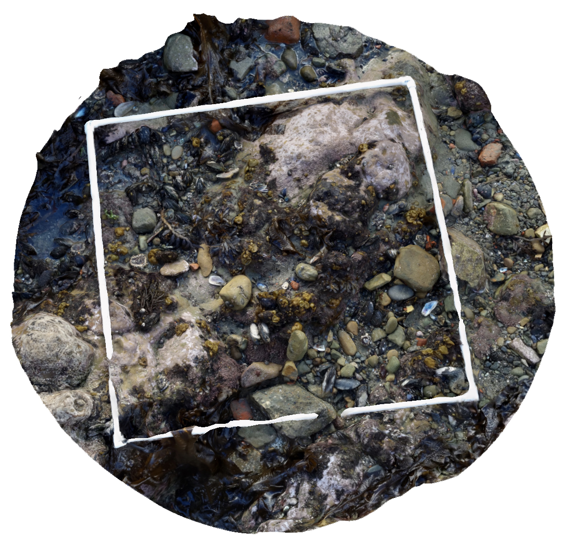
The recent upgrade means Marine metre2 just got a whole lot smarter with the integration of the ‘Seascape’ photogrammetry techniques which means users can build an accurate 3D digital model of a section of seashore using a smartphone or tablet. “We’ve built the programme so that it’s easy for kids to use and the 3D model transports them back to their rocky reef whenever they want,” Arie Spyksma, a University of Auckland marine ecologist.
Enhancing the project, a new-look Marine metre2 website is linked to widely used Australasian biodiversity database, BioCollect, so back in the classroom the 3D models are easily uploaded and come to life for closer inspection. The data is catalogued and available for budding and experienced scientists, and organisations to monitor marine ecosystem change. “Because the data gets uploaded into BioCollect, it then becomes available for scientists across New Zealand and the world. This is really useful for both research and monitoring,” adds Spyksma.
Sally Carson says Marine metre2 can connect communities to their local coastline and empower them to act as champions for their seashore and the life in it. “There’s so much we don’t know about the seashore environment, and by doing Marine metre2 we’re gaining understanding, and that understanding is really important to ensure that our environment is here for future generations. “New Zealand could have the best understood seashore of any country, and that’s really important in this rapidly changing world.”
Individuals, schools and anyone interested in contributing to Marine metre2 can visit mm2.net.nz. Live Ocean Foundation brought the collaborators together and is supporting the Marine metre2 project reboot along with Coastal People : Southern Skies, Centre for Research Excellence.