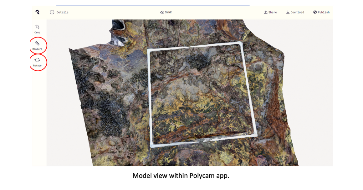
After carrying out an Mm2 survey and creating a 3D photogrammetry model, students should review their models. Alternatively, students can review previously created photogrammetry models. The questions below can be used to guide them.

1. How many different types of seaweeds can you see?
– What different colours of seaweed can you find?
2. How many different types of animals can you see?
– Which animals were only found on the northern shore?
– Which animals were only found on the southern shore?
3. Is this 3D photogrammetry model better than a photo?
– What else do you think you would see if you were actually on the shore?
4. Which of the animals / seaweeds have you found on your local shore?
– If you were a marine animal living on the shore, where would you live and why?
5. Why do you think making models like this are important?
– Who do you think you should share your model with? Why?
6. Use this model to practice doing a Marine Metre2 survey:
7. Try making a photogrammetry model of your shoreline here.

